A magnitude 6.7 earthquake struck the Andes in central Peru, with its epicentre about 9 km northeast of the town of Carhuamayo in the Junín region and a depth of about 108 km, according to the US Geological Survey (USGS).
USGS records show the quake hit at 00:09 UTC on 21 November, or 19:09 on the evening of 20 November in Peru (03:09 on 21 November in Türkiye). Its size was calculated as 6.7 on the moment magnitude (Mww) scale. The USGS placed the epicentre at 10.85 degrees south and 75.98 degrees west. Its “Did You Feel It?” system, which collects public reports of shaking, received 111 reports, with the highest intensity calculated from them at about level V, or moderate shaking.
About five hours later, at 05:12 UTC (00:12 on 21 November in Peru), a second earthquake of magnitude 5.0 was recorded in the same area. Its epicentre was given as Carhuamayo itself, at a depth of about 111 km.
The USGS PAGER system, which estimates casualties and economic losses after earthquakes, issued a “green” alert for the 6.7 quake, its lowest level. By the agency’s calculation, this means a low likelihood of heavy casualties or major damage. The maximum shaking intensity it estimated was VI (strong). The USGS notes that the figures are automatic and may be updated after review. A final damage assessment from Peruvian authorities was not available in the sources read at the time of writing.
Background
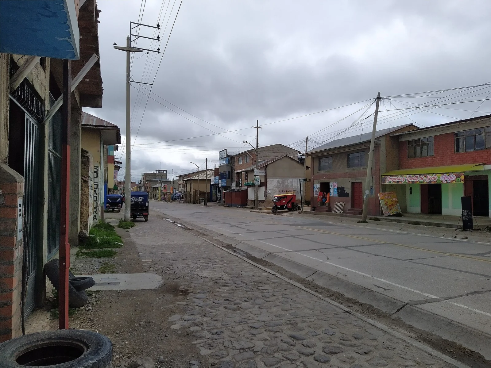
Peru lies on the “Ring of Fire” that encircles the Pacific Ocean, where most of the world’s earthquakes occur. Earthquakes are frequent in the country’s inland Andean areas. The Junín region is a high-altitude mountain area east of the capital, Lima, and Carhuamayo is one of the towns along the PE-3N highway that crosses it.
Why it matters
A magnitude of 6.7 could cause widespread destruction if the quake were close to the surface. The depth of more than 100 km is the main reason damage expectations in USGS estimates remain low. Still, two earthquakes a few hours apart in the same area mean authorities need to stay alert to aftershocks and to fragile buildings in rural settlements.
Source: USGS, USGS · Image: HighVoltage 5576, CC BY-SA 4.0